Geopolitics · The Neighbourhood
Kashmir: The Geopolitics of a Contested Land
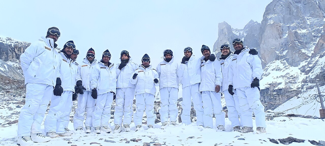
Few places carry as much strategic and emotional weight as Kashmir. A land of mountains and rivers at the meeting point of India, Pakistan and China, it has been contested since 1947 — and remains one of the most militarised regions on earth.
A princely choice
At independence, the ruler of Jammu and Kashmir acceded to India as tribal raiders backed by Pakistan invaded. The first war ended with the territory divided along a ceasefire line — later the Line of Control — that endures to this day.[1]
A single valley where the disputes of three giants overlap.
Three claimants
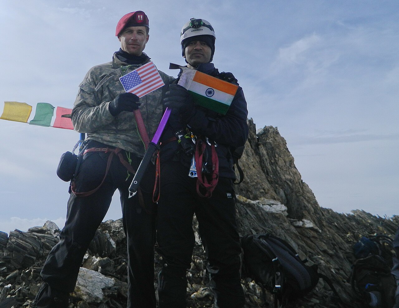
India, Pakistan and China each hold parts of the historic region. The result is a tangle of contested lines, from the Siachen Glacier to Aksai Chin — a single dispute that pulls in all three Asian giants.
Why the geography matters
Kashmir commands the headwaters of rivers vital to Pakistan, high passes into Central Asia, and the strategic heights overlooking the plains. Control of this terrain is about water, access and altitude as much as identity.
2019 and after
In 2019 India revoked the special autonomy granted under Article 370 and reorganised the region as union territories — a domestic decision with sharp diplomatic fallout. Pakistan downgraded ties; the dispute, already frozen, hardened further.
Why it matters
Kashmir is where the India–Pakistan rivalry and the China border question overlap on a single map. It is the knot in which South Asia's biggest disputes are tied together.
Sources & further reading
- "Kashmir conflict," Wikipedia.
All images via Wikimedia Commons, used under the licences shown on each file page.